


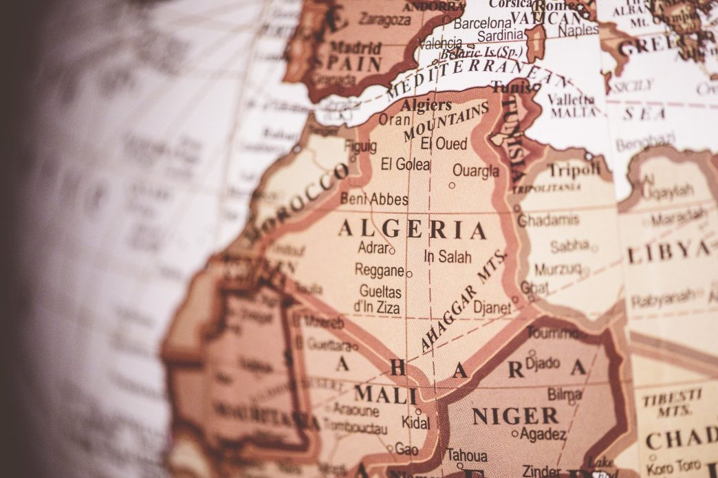
The UN General Assembly will decide this Friday on a proposal put forward by Togo aimed at replacing the traditional world map with one that more accurately represents the size of Africa. This change could influence the way continents and their dimensions are perceived in a global context.
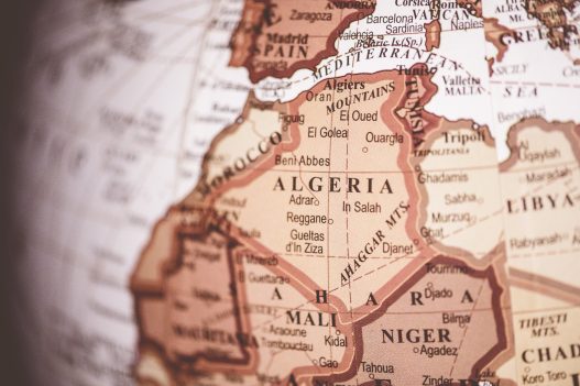
An analysis of current maps reveals that Greenland is depicted as being similar in size to Africa, which can create the misleading impression that the island, which has a population of around 56,000 inhabitants, spans more than 30 million square kilometers. However, the actual area of Greenland is 2.1 million square kilometers, highlighting the distortion presented by the Mercator projection, utilized since 1569. This projection inflates the representation of regions farther from the equator, making Europe, North America, Greenland, and Russia appear disproportionately large compared to continents like Africa, South America, or India.
The change proposed by Togo seeks to adopt the Equal Earth map, which offers a more faithful representation of the dimensions of the continents. Togo’s Minister of Foreign Affairs, Robert Dussey, has stated that the proposal has the support of the African Union and emphasizes that “Africa is not asking for preferential treatment, but rather for its realities and contributions to be recognized.” This change is considered fundamental as Africa takes on a more prominent role in addressing global challenges.
A campaign launched in January 2025, called #CorrectTheMap, has gathered more than 11,000 signatures on Change.org in support of this initiative. The petition highlights that the Mercator projection reinforces misconceptions about Africa, suggesting that the distortion is not merely a cartographic error but a “narrative flaw” that impacts its geopolitical and economic perception. The campaign advocates for the use of the Equal Earth map, which preserves the actual proportions of the continents and is ideal for fairly representing Africa’s size.
Source: www.infobae.com