


Colombia has escalated its use of drones, helicopters, and airplanes to fight forest fires due to an increase in fire threat alerts across various regions of the country.
According to the latest report from the National Unit for Disaster Risk Management (UNGRD), at least six wildfires remain active: four in Tolima, one in Valle del Cauca, and another in Norte de Santander. Reports indicate that the extent of the fires and the challenges of accessing difficult terrains have necessitated greater reliance on technological tools by emergency services. The primary aim is to assess the scale of the fires, identify high-temperature spots, and establish the safest routes for ground and aerial firefighting efforts.
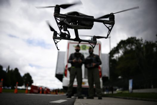
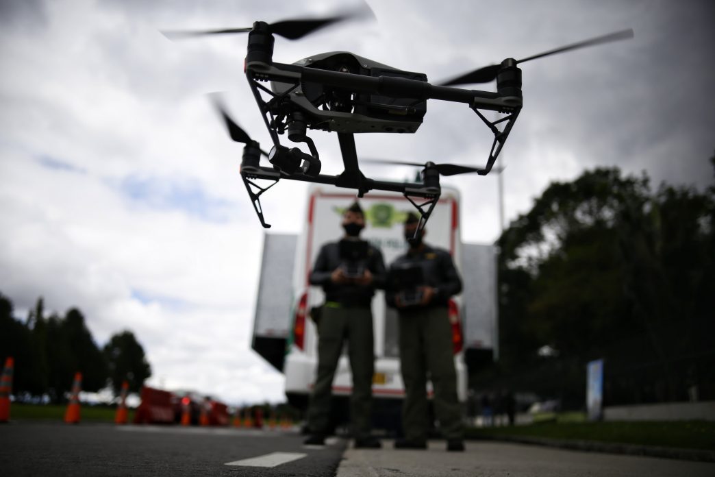
Sergeant Iver Escobar of the Official Firefighters Corps of Bogotá highlighted that drones have become an essential tool for detecting fires, determining their size, and identifying terrain that can be accessed by ground teams. While he stated that current capabilities are adequate for addressing emergencies, he noted the need for ongoing enhancement of equipment.
“The equipment we currently have is sufficient, but obviously, more equipment is necessary. Technology and all resources advance daily, and we need more tools for more effective control,” Escobar stated. Drones facilitate surveillance in areas where it may be risky or slow for firefighters to reach. With this information, teams can make informed decisions regarding access routes, attack points, fire direction, and areas with the highest temperatures.
In light of the severity of the wildfires, authorities are also deploying aerial capabilities. The Group of Remotely Piloted Air Systems (SIART) from the Police explained that their equipment identifies hotspots and provides coordinates to piloted aircraft for guidance on water drops. “We identify those hotspots of high heat concentration, communicate with piloted aircraft, provide them with the coordinates, and they manage fire control using Black Hawk or AT-802 aircraft,” said Captain Murcia from the Police.
The National Police employs several aircraft, including UH-60 Black Hawk helicopters and AT-802 planes, which can drop about 800 gallons of water and spray extinguishing agents over active fire sites.
As of September 1, the latest bulletin from Ideam reports that 180 municipalities are under some level of alert for vegetation fire threats. Out of these, 33 are at high alert, 87 at moderate, and 60 at low. The Andean region has the highest number of municipalities under alert status, with 123, followed by the Pacific region with 44, the Caribbean with 12, and Orinoquía with one. Among the departments with high alert municipalities are Tolima, Cundinamarca, Huila, La Guajira, Nariño, Norte de Santander, Valle del Cauca, and Antioquia. The regions are under scrutiny due to conditions that may promote fire spread, particularly in areas of vegetation exposed to high temperatures and low humidity.
Ideam has recommended that fire prevention and response plans remain active and has urged fire departments to ensure that they have the necessary equipment to respond promptly as long as favorable weather conditions continue to promote fire spread. The alert comes at a time when several regions face simultaneous fires and access difficulties. Therefore, the combination of drone monitoring, coordination with aircraft, and land team responses has become crucial for managing emergencies, protecting communities, and minimizing environmental damage.
Authorities emphasize that while technology cannot replace the work of rescue organizations, it enables more precise actions. Amid increasing alerts, knowing the locations of heat sources and the progression of fire can be critical in distinguishing between a controlled emergency and a large-scale wildfire.
Source: www.infobae.com